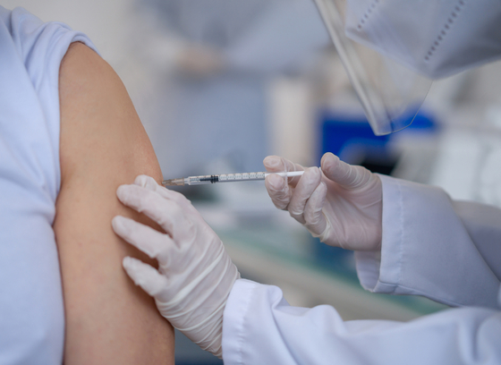
Bolivia is pioneering the use of geographic artificial intelligence to improve vaccination coverage
By PPO Abogados

With the support of the Pan American Health Organization (PAHO) and the World Health Organization (WHO), staff from the National Expanded Immunization Program (PAI) of Bolivia were trained in using tools to prioritize and address immunization challenges. This approach combines spatial and local data in a comprehensive way.
Thanks to the integration of geospatial technology, Bolivia's vaccination service microplanning will be significantly strengthened. According to WHO's experience, incorporating geospatial tools into microplanning has positively impacted vaccination coverage, outreach, accountability, and program efficiency.
“Today, geographic information allows us to use vast amounts of data already available in the cloud. The goal is to adapt this information to Bolivia’s context to identify the best strategy for reaching unvaccinated populations,” explained Martha Velandia, Regional Immunization Advisor at PAHO/WHO.
The workshop also showcased results from a microcensus and comparisons with satellite images to estimate populations by age group.
Throughout the workshop, participants followed a comprehensive process that started with gathering local data and identifying specific problems in various geographic areas of Bolivia (urban, periurban, and rural). This local data was then cross-referenced with spatial data from satellite images.
By the end of the workshop, participants had learned how to access publicly available spatial data sources, apply prioritization methods for immunization challenges, and use tools like QGIS for geospatial analysis. These skills will be put into practice by selecting specific examples and following an eight-step structured approach to implement their strategies.
